Assessment of Peatland Fire Susceptibility Using Biogeophysical Parameters in the Kahayan-Sebangau Peat Hydrological Unit, Central Kalimantan
Kata Kunci:
Peatland fire, random forest probability, remote sensingAbstrak
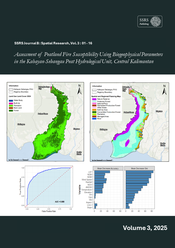
Forest and land fires in peatland ecosystems of Central Kalimantan pose a serious threat to the environment and local communities, causing ecosystem degradation, loss of biodiversity, and health problems. This study aims to identify biophysical characteristics, analyze the relationships between environmental parameters and fire occurrences, and develop a vulnerability map based on the integration of remote sensing data and spatial modeling. Multisource data (Sentinel-2, Landsat-8, MODIS, CHIRPS, ERA5-Land, and TerraClimate) were used to obtain 15 variables representing topography, hydrology, vegetation, and climate, which were further analyzed to detect burned areas using the differenced Normalized Burn Ratio (dNBR). The dataset was divided into 70% for training and 30% for validation. Fire vulnerability mapping using the Random Forest Probability (RFP) method resulted in six risk classes: very low (143,994 ha), low (104,909 ha), moderate (85,718 ha), high (58,541 ha), very high (40,597 ha), and extreme (16,230 ha). The model demonstrated strong performance with an AUC value > 0.85, indicating consistent relationships between classification results and key environmental variables, where land surface temperature (LST), rainfall, and vegetation indices (NDVI and NDMI) were identified as the most influential factors affecting fire vulnerability. The findings provide recommendations for ecosystem-based peatland restoration, adaptive peat management, and fire mitigation strategies within the Kahayan–Sebangau PHU landscape.